Site Investigation
- Jan 26, 2017
- 3 min read
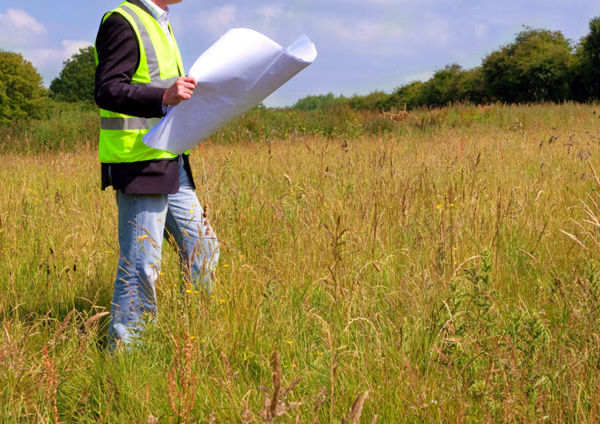
When a new project is planned a site investigation is required to determine how the engineering properties of the soil and rock on the proposed site will interact with the prospective development. The aim is to collect and record all fundamental data that is required to establish the parameters for the foundations, substructure and infrastructure of the planned construction. Many different areas, such as susceptibility to groundwater levels and flow, underlying geology, risk of contaminates and ground and hydro-geological properties of the site, are assessed to look at the potential impact and risks to property, the environment and to humans.
Unknown, 2014. Site Investigation. [image online] Available at: http://buildingmatters.ie/wp-content/uploads/2014/12/buildingmatters-siteinvestigationn.jpg [Accessed 26 January 2017]
Approved Document C from The Building Regulations 2010 stipulates that the extent and level of the site investigation needs to be tailored to site specific factors such as the type of the development, previous use of the site and anticipated geology.
The approved document recommends that the site investigation should consist of four well-defined stages:
"1. Planning Stage. Clear objectives should be set for the investigation, including the scope and requirements, which enable the investigation to be planned and carried out efficiently and provide the required information.
2. Desk Study. A review of the historical, geological and environmental information about the site is essential.
3. Site Reconnaissance or Walkover Survey. This stage of the investigation facilitates the identification of actual and potential physical hazards and the design of the main investigation.
4. Main Investigation and Reporting. This will usually include intrusive and non-intrusive sampling and testing to provide soil parameters for design and construction. The main investigation should be preceded by (2) and (3) above."
(HM Government, 2013. The Building Regulations 2010: Site Preparation and Resistance to Contaminants and Moisture. 1st Ed. NBS. p.12.)
It is necessary to continually assess the information collected from each stage to ensure that the original objectives of the site investigation are fulfilled. In the event of any unforeseen findings then changes to the scope for the investigation, or even to the design and construction proposals of the project may be needed. If a site is potential effected by contaminants then a combined geotechnical and geo-environmental investigation is likely to be needed.

An investigation will consist of surface investigation and subsurface investigation of the site. Surface examinations can included techniques such as geologic mapping, geophysical methods, photogrammetry or a technician walking around the area recording physical conditions on the site. A geologic map is a special-purpose map that shows geological features of a given area. A map can show a number of different elements such as type and area of geologic strata (rock types), bedding planes and structural features such as faults, folds, foliations and lineations. Different rock types are typically represented by different colours and are identified in the accompanying legend.

Geophysical methods involve using gravitational, magnetic, seismic, electrical and electromagnetic techniques at the surface of the Earth to measure the physical properties of the subsurface and to detect structures such as folds, faults and intrusive rocks. A wide variety of methods have been developed across these various categories which provide information on specific areas selected for the purpose of the investigation. Photogrammetry is using photographs to make measurements to help recover the exact positions of surface points.

https://static1.squarespace.com/static/5646f933e4b0fa024db68157/t/56499e18e4b0619780d10aa3/1447665177169/ [Accessed 26 January 2017]
The subsurface investigation will usually involve obtaining information about conditions of the site below the surface by retrieving soil samples and performing laboratory tests on these specimens. To investigate the soils below the surface, acquire samples and determine the physical properties of the soil and rocks methods, such as test pits, trenching, boring and in situ tests, are used.

Ground Check Ltd, 2009. Ground Check Trial Pit. [image online] Available at: http://c2936519.myzen.co.uk/wp-content/gallery/trial-pits/ground-check-trial-pit-45ton-excavator.jpg [Accessed 26 January 2017]


Comments